New Jersey’s Cultural Landscapes
Mapping Atlantic City’s cultural memory using the archive, data science, and interactive cartography
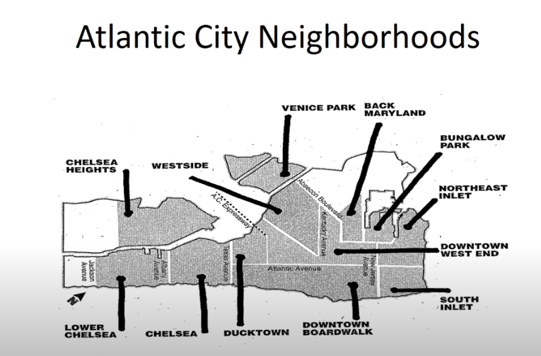
Welcome to the documentation for this project, which explores the role of African American visual culture, memory, and resistance in Atlantic City through interactive cartography and archival research.
Project Highlights
- Interactive maps visualizing historical African American tourism in Atlantic City
- Integrated archival photographs, brochures, and documents
- Data science methods including OCR, geospatial analysis, and fuzzy matching
- Open source code available on GitHub
How to Navigate
Explore the sections above to dive into the data, methods, and maps. Start with the Intro page for background and then check out the Maps to see the interactive visualizations.
Acknowledgments
This project is made possible by access to archival collections from Atlantic City Free Public Library, contributions from Heather Perez, and the power of open-source tools.